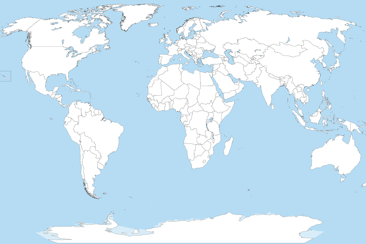
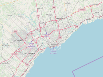
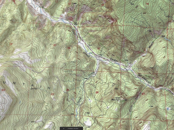
Map projections are essential tools for representing the three-dimensional surface of the Earth on a two-dimensional map. With countless projections available, each with its own strengths and weaknesses, selecting the right one for a specific project can be challenging. In this article, we delve into the fascinating world of map projections, exploring their characteristics, common types, and considerations for choosing the most suitable projection for your mapping needs.
Understanding Map Projections: Map projections are mathematical transformations that convert the spherical surface of the Earth into a flat map. Due to the inherent differences between a sphere and a flat surface, distortions inevitably occur in area, shape, distance, or direction when representing the Earth's surface on a map. Different map projections aim to minimize these distortions based on specific criteria, such as preserving shape, area, or distance.
Common Types of Map Projections:
There are numerous map projections, each designed to serve different purposes and address specific needs. Some of the most common types include:
- Mercator Projection: Known for its distortion of size, particularly at high latitudes, the Mercator projection is widely used for navigation due to its preservation of angles and straight rhumb lines.
- Robinson Projection: This compromise projection aims to balance distortions across various map properties, making it suitable for general-purpose world maps.
- Conic Projection: Conic projections are often used to map regions with an east-west extent, such as mid-latitude countries or states. They preserve distance and direction along the lines of latitude or along specific lines of longitude.
- Cylindrical Projection: Cylindrical projections, such as the Miller cylindrical projection, preserve the shape of objects but result in significant distortions in area, especially at higher latitudes.
Considerations for Choosing a Projection:
When selecting a map projection for a specific project, several factors should be taken into account:
- Purpose: Consider the intended use of the map and the information it needs to convey. For example, a world map for navigation may require a different projection than a thematic map depicting population distribution.
- Area of Interest: Choose a projection that minimizes distortions in the area of interest. For regional maps, select a projection that provides accurate representation for that particular region.
- Scale: Consider the scale of the map and the level of detail required. Some projections may be more suitable for large-scale maps, while others are better suited for small-scale maps.
- Projection Properties: Understand the strengths and weaknesses of different projections in terms of area, shape, distance, and direction distortions.
Map projections play a crucial role in cartography, allowing us to represent the Earth's surface on a flat map. By understanding the characteristics and considerations associated with different projections, cartographers and GIS professionals can choose the most appropriate projection for their mapping projects. Whether creating world maps, regional maps, or thematic maps, selecting the right projection is essential for accurately communicating spatial information and ensuring the effectiveness of the map for its intended purpose.


