
Read More
1. Trading Without Risk: The Dream That’s Now Reality
For years, one truth has held back even the most talented crypto...
Read More
Exploring Biblical Geography. Discover the lands of the Bible through detailed maps that bring ancient stories to life. From the Exodus journey to the missionary travels of Paul, trace the footsteps of key figures in biblical history.

1. Trading Without Risk: The Dream That’s Now Reality
For years, one truth has held back even the most talented crypto...
Read More
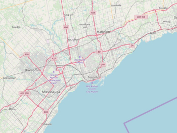
In the realm of environmental conservation, maps serve as indispensable tools, guiding efforts to understand, protect, and sustain our planet's...
Read More
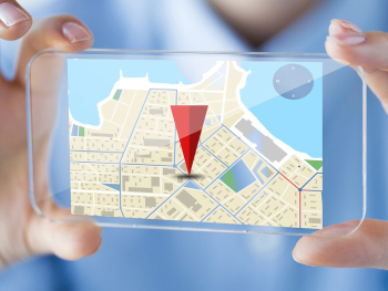
Remote sensing technology has emerged as a powerful tool for understanding and monitoring the Earth's surface and atmosphere from afar....
Read More
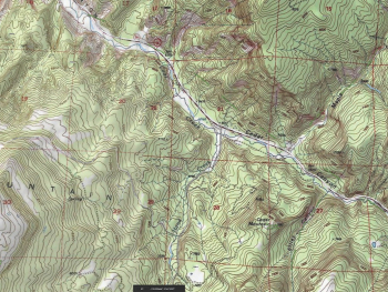
Topographic maps are invaluable tools for navigating and understanding the terrain of our planet. Whether you're an outdoor enthusiast planning...
Read More

Geographic Information Systems (GIS) have revolutionized the way we collect, analyze, and visualize spatial data. From urban planning and environmental...
Read More

Map projections are essential tools for representing the three-dimensional surface of the Earth on a two-dimensional map. With countless projections...
Read More
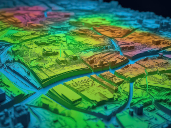
Spatial analysis, powered by Geographic Information Systems (GIS), has revolutionized the way we interpret and analyze geographic data. By incorporating...
Read More

The evolution of mapping technology from traditional paper maps to sophisticated digital navigation systems has revolutionized the way we navigate...
Read More
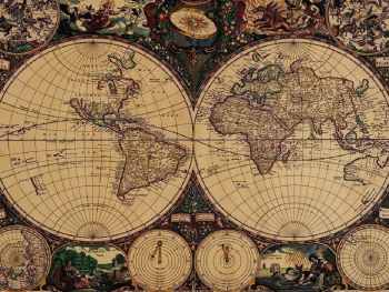
Embarking on an adventure, whether it's a hiking trip, a road trip, or a backpacking expedition, requires careful route planning...
Read More

Geographic Information Systems (GIS) are powerful tools for capturing, analyzing, and visualizing spatial data to uncover valuable insights about our...
Read More

Cartography, the art and science of mapmaking, has a rich history spanning centuries. From ancient maps etched on parchment to...
Read More