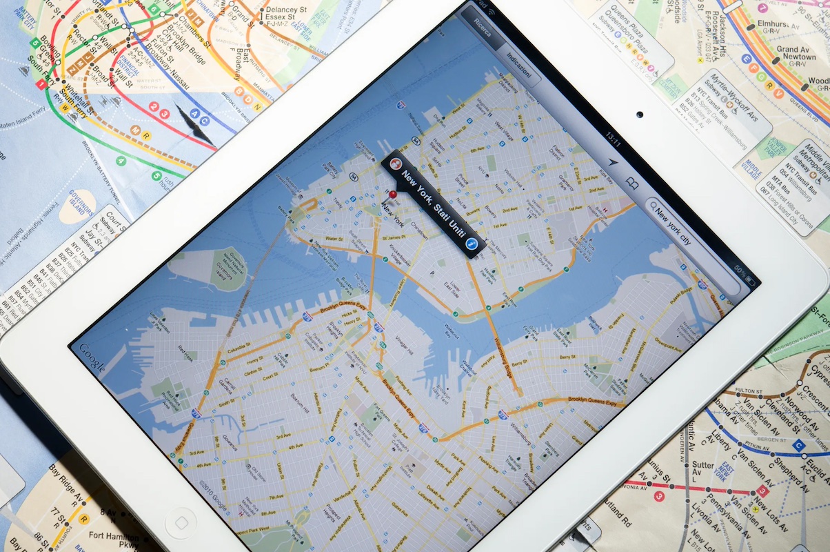
The evolution of mapping technology from traditional paper maps to sophisticated digital navigation systems has revolutionized the way we navigate and explore the world around us. While paper maps served as essential tools for centuries, the advent of digital mapping technologies has brought unprecedented levels of accuracy, interactivity, and convenience to navigation. In this article, we trace the evolution of mapping technology, exploring its transformative impact on navigation, exploration, and everyday life.
The Era of Paper Maps:
For centuries, paper maps were the primary means of representing geographic information. Hand-drawn maps date back to ancient civilizations, providing early explorers and travelers with rudimentary guides to navigate unfamiliar territories. With the advent of printing technology, maps became more widely available, facilitating exploration, trade, and the exchange of geographic knowledge. From ancient maps on parchment to the highly detailed atlases of the Renaissance, paper maps were indispensable tools for navigating the world.
The Rise of Digital Mapping:
The digital revolution transformed mapping technology, ushering in a new era of precision, accessibility, and functionality. The development of Geographic Information Systems (GIS) in the 1960s paved the way for the digitization of geographic data, enabling the creation of dynamic, interactive maps. With the advent of personal computers and the internet, digital mapping platforms such as Google Maps and MapQuest emerged, providing users with access to maps, directions, and real-time traffic information from their desktops.
The Emergence of GPS Technology:
Global Positioning System (GPS) technology revolutionized navigation by enabling precise location tracking using satellite signals. Initially developed for military purposes, GPS technology became available for civilian use in the 1980s, leading to the proliferation of GPS-enabled devices such as car navigation systems, smartphones, and wearable fitness trackers. GPS technology, combined with digital mapping software, provided users with turn-by-turn navigation, real-time location tracking, and location-based services.
The Advent of Mobile Mapping Apps:
The widespread adoption of smartphones and mobile devices further accelerated the evolution of mapping technology. Mobile mapping apps such as Google Maps, Apple Maps, and Waze transformed navigation by providing users with on-the-go access to maps, directions, and location-based services. These apps leverage GPS technology, real-time traffic data, and user-generated content to offer personalized navigation experiences, including route optimization, voice-guided directions, and points of interest recommendations.
The Future of Mapping Technology:
Mapping technology continues to evolve rapidly, driven by advancements in artificial intelligence, augmented reality, and spatial computing. Emerging technologies such as autonomous vehicles, indoor mapping, and 3D mapping promise to further enhance the accuracy and sophistication of navigation systems. Additionally, the integration of mapping technology with Internet of Things (IoT) devices and smart city infrastructure holds the potential to revolutionize urban mobility and transportation.
From humble paper maps to sophisticated digital navigation systems, the evolution of mapping technology has transformed the way we navigate, explore, and interact with the world. As technology continues to advance, mapping platforms will become increasingly personalized, interactive, and integrated into our daily lives. Whether navigating city streets, exploring remote wilderness areas, or planning cross-country road trips, mapping technology empowers us to navigate the world with confidence and convenience, enriching our experiences and expanding our horizons.


